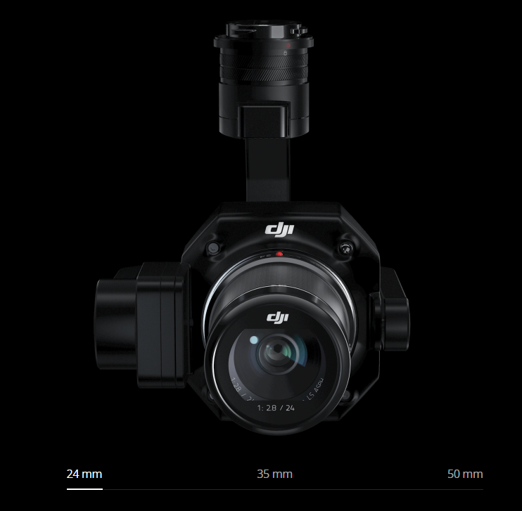
DJI Zenmuse P1 Overview
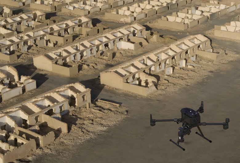
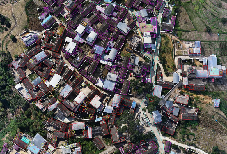
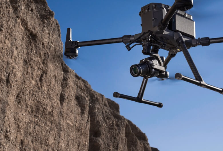
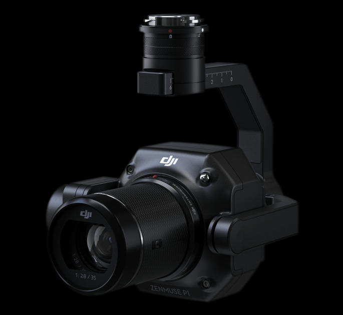
The DJI Zenmuse P1 is a high-resolution aerial surveying and mapping payload designed specifically for use with DJI’s Matrice 300 RTK drone. It is equipped with a full-frame sensor and interchangeable lenses, making it a powerful tool for professionals in geospatial, land surveying, and infrastructure inspection industries. Get the best DJI Zenmuse P1 price in Bangladesh.
Key Features:
- Full-Frame Sensor: Equipped with a 45 MP full-frame sensor, the Zenmuse P1 captures ultra-high-resolution images, ensuring accurate and detailed aerial data.
- Interchangeable Lenses: Compatible with 24mm, 35mm, and 50mm lenses, offering flexibility for various mapping and surveying tasks.
- Global Mechanical Shutter: Eliminates rolling shutter distortion, providing clear, accurate images even during fast drone movement, ideal for mapping high-speed flights.
- High Efficiency: Covers up to 3 km² in a single flight, significantly improving operational efficiency for large-scale surveying projects.
- Smart Oblique Capture: Automatically rotates the camera to capture images from different angles, reducing the number of flights needed and optimizing post-processing time.
- Millimeter-Level Accuracy: When combined with the Matrice 300 RTK, the Zenmuse P1 delivers centimeter-level accuracy for precision mapping and surveying.
- Real-Time Data Feedback: Offers real-time kinematic (RTK) data and post-processed kinematic (PPK) support, ensuring accurate georeferencing and streamlined workflows.
- Rugged Build: Built to withstand harsh environments, making it durable for long-term use in the field under challenging conditions.
The Zenmuse P1 is the go-to solution for professionals needing high-precision aerial data for applications like land surveying, urban planning, and infrastructure monitoring, providing efficiency, accuracy, and reliability.


